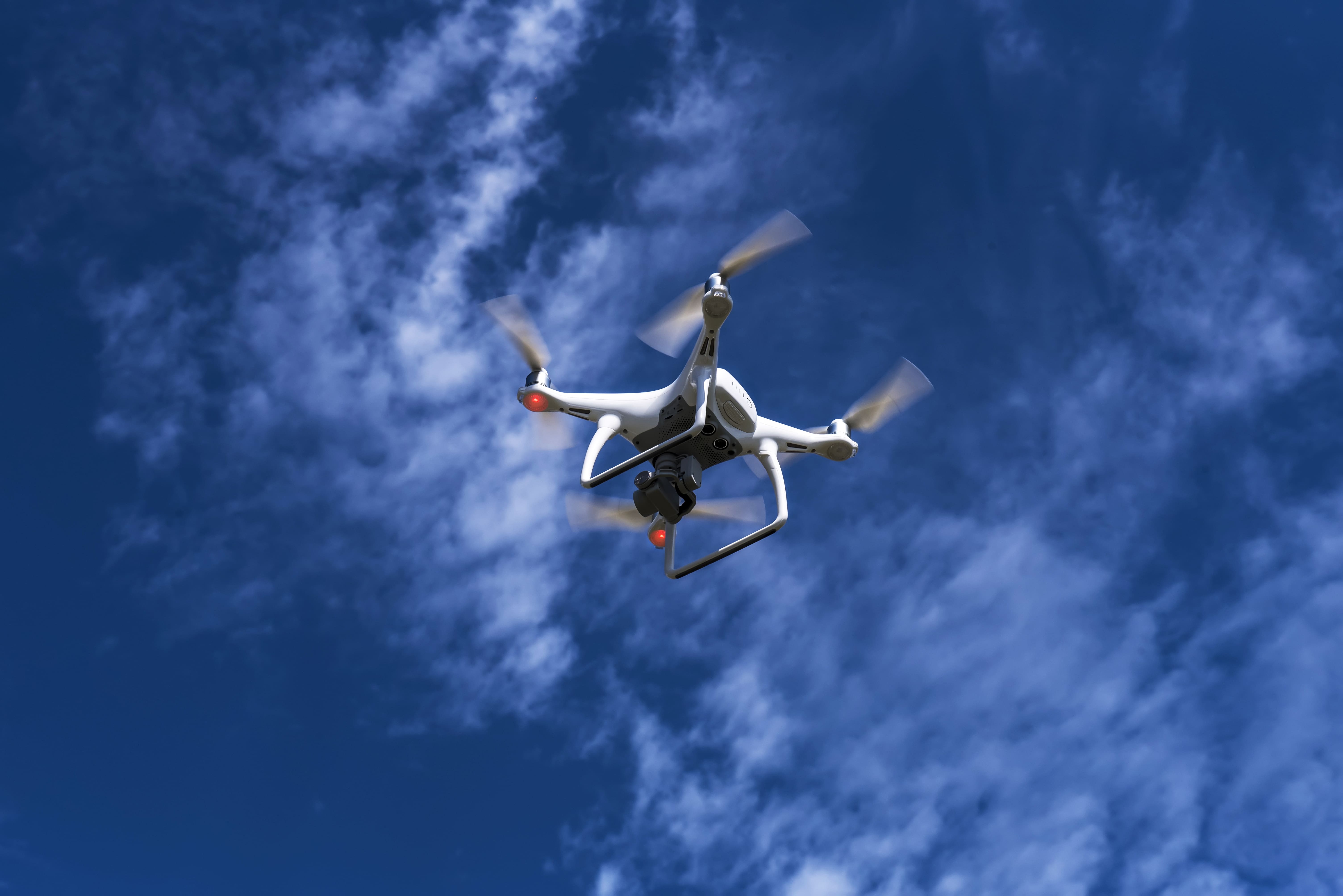
The Drone GIS course, where participants will learn to integrate Unmanned Aerial Vehicles (UAVs) with Geographic Information Systems (GIS). Gain practical skills in collecting, processing, and analyzing spatial data from drones, enabling applications in mapping, environmental monitoring, and geospatial analysis.
COURSE OBJECTIVES
● Understanding the principles and applications of GIS in various industries such as
agriculture, construction, and emergency services.
● Gaining knowledge of the different types of drones and their uses, including
commercial, industrial, and recreational drones.
● Learning how to properly operate and maintain a drone, including troubleshooting
and fixing common issues.
● Gaining knowledge of the different types of cameras and other payloads used on
drones and their applications in GIS.
● Learning how to use various software and tools to plan and execute flights, as well as
analyse and interpret flight data and create GIS maps and models
● Becoming familiar with GIS-specific applications such as aerial photography,
videography, and LiDAR and how to use them to create accurate and detailed maps,
models and 3D visualisations
● Understanding the ethical and legal considerations involved in drone GIS, including
privacy and consent.
● Understanding the use of drones in data collection, data analysis and data
interpretation


